KAZA Impact Monitoring
WWF-Germany is supporting land cover monitoring in the Kavango-Zambezi Transboundary Conservation Area (KAZA TFCA).
In collaboration with Peace Parks Foundation, Wageningen University and GeoTerra Image inc, 16 land cover types have been mapped from Landsat imagery, which are being used to assess human impacts in wildlife corridors. Using big data cloud processing annual changes detected by all available Landsat imagery since 2005 have been identified to assess disturbance over time, and determine the success of conservation efforts.
Bringing satellite data to the ground
Data from the KAZA land cover monitoring will help local projects and conservation managers assess what is happening in and around their project areas, and why.
Field validation
Preliminary results of the change detection were validated on the ground in Zambia and Namibia alongside local WWF staff, and integrated into the KAZA Monitoring and Evaluation system, developed in collaboration with Peace Parks Foundation and the KAZA Secretariat.
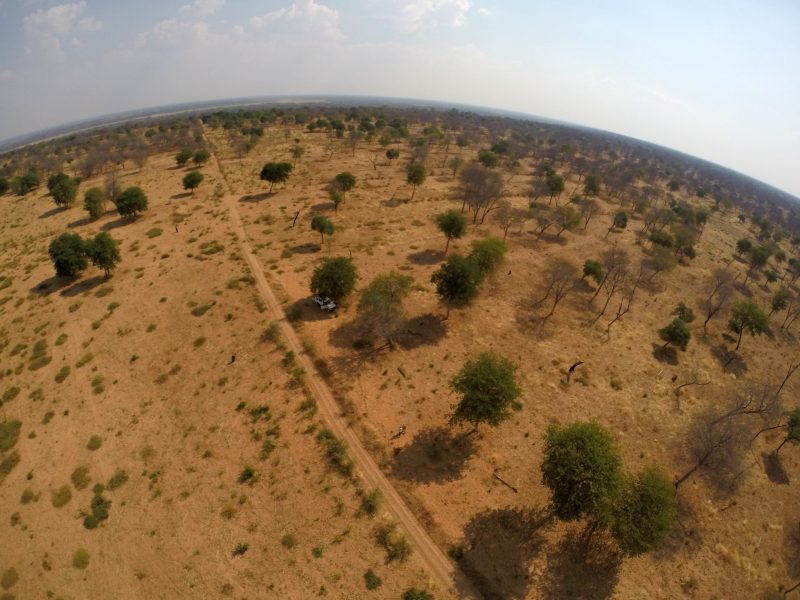
Below: an aerial snapshot taken from a camera attached to a kite, following techniques for kite aerial photography
 Here is the interactive Land Cover change dashboard for KAZA:
do you need a big data solution to monitoring land cover change? Want to take cool images with a kite? We can help.