WebGIS and Mapping
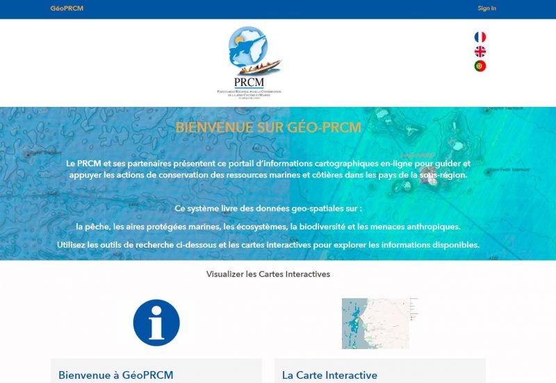
WWF space+science is supporting GéoPRCM a webGIS portal with analysis and decision support for the West Africa Coastal Areas Management Program. This work involves compiling available geo-spatial data on ecosystems and threats in Benin's coastal zone to populate an open data site, and filling gaps where needed (i.e. mapping mangroves). We then provide interactive maps and geoprocessing tools so that conservation managers can view, manipulate and use spatial information to see what is happening in the coastal zone, and where to do something about it. The interactive monitoring map below helps users without GIS software or expertise explore data for the coastal zone, with tools to plan, analyse and mash-up geo-spatial data and information.
We created a website to showcase data, maps and information for the coastal zone, uniting data from 7 countries into a centralized online platform.
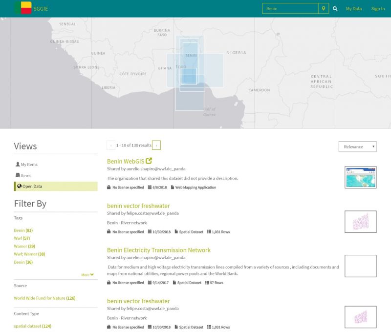
In Benin, a similar effort is underway to support coastal monitoring and protected forest assessments, including dashboards and an open data page to enable users to access, view, manipulate and download spatial datasets.
do you want to set up a webGIS system to support conservation planning? Let us know how we can help.